
Panaitan topographic map
Interactive map
Click on the map to display elevation.
About this map
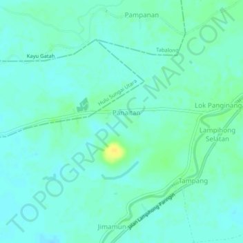
Name: Panaitan topographic map, elevation, terrain.
Location: Panaitan, Kalimantan du Sud, Indonésie (-2.37180 115.32648 -2.33180 115.36648)
Average elevation: 12 m
Minimum elevation: 6 m
Maximum elevation: 27 m