
Falköpings kommun topographic map
Interactive map
Click on the map to display elevation.
About this map
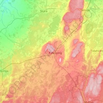
Name: Falköpings kommun topographic map, elevation, terrain.
Location: Falköpings kommun, Provincia de Västra Götaland, Suecia (57.91032 13.18918 58.43950 13.89148)
Average elevation: 175 m
Minimum elevation: 51 m
Maximum elevation: 358 m