
Cadillac topographic map
Click on the map to display elevation.
About this map
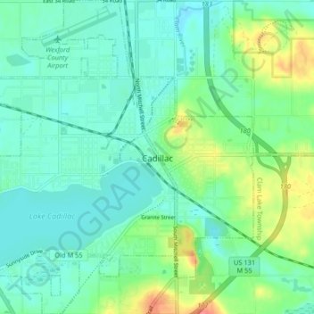
Name: Cadillac topographic map, elevation, terrain.
Location: Cadillac, Wexford County, Michigan, United States (44.22290 -85.45686 44.28128 -85.33598)
Average elevation: 405 m
Minimum elevation: 382 m
Maximum elevation: 456 m