
Kuriwa topographic map
Interactive map
Click on the map to display elevation.
About this map
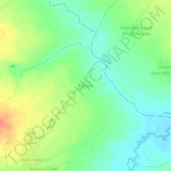
Name: Kuriwa topographic map, elevation, terrain.
Location: Kuriwa, Gayawa, Ungongo, Kano State, Nigeria (12.08280 8.54594 12.12280 8.58594)
Average elevation: 449 m
Minimum elevation: 429 m
Maximum elevation: 479 m