
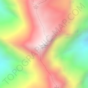
Cerro Peñón Blanco topographic map
Interactive map
Click on the map to display elevation.
About this map
Name: Cerro Peñón Blanco topographic map, elevation, terrain.
Average elevation: 1,472 m
Minimum elevation: 852 m
Maximum elevation: 1,934 m
Other topographic maps
Click on a map to view its topography, its elevation and its terrain.
Parroquia Joaquín Crespo
Venezuela > Estado Aragua > Municipio Girardot
Parroquia Joaquín Crespo, Municipio Girardot, Estado Aragua, Venezuela
Average elevation: 438 m
Maracay
Venezuela > Estado Aragua > Municipio Girardot
Maracay, Parroquia José Casanova Godoy, Municipio Girardot, Estado Aragua, 2104, Venezuela
Average elevation: 697 m