
Auchterarder topographic map
Interactive map
Click on the map to display elevation.
About this map
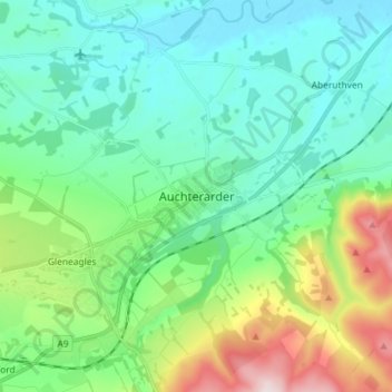
Name: Auchterarder topographic map, elevation, terrain.
Location: Auchterarder, Perth and Kinross, Escocia, PH3 1BJ, Reino Unido (56.25498 -3.74668 56.33498 -3.66668)
Average elevation: 128 m
Minimum elevation: 12 m
Maximum elevation: 472 m