Geolocate

Hinoemata topographic map

Click on the map to display elevation.

About this map

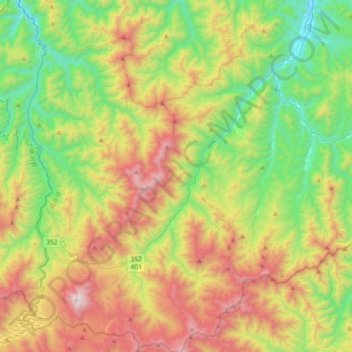
Name: Hinoemata topographic map, elevation, terrain.

Location: Hinoemata, Minamiaizu County, Fukushima Prefecture, Japan (36.91080 139.22980 37.20305 139.45997)

Average elevation: 1,230 m

Minimum elevation: 545 m

Maximum elevation: 2,330 m

Gear up for your next adventure:

🔋Solar Power Bank - Keep your GPS and devices charged during long outdoor trips
🥾Lightweight Hiking Boots - Boots for comfort and mobility on long hikes
👟Leg Gaiters - Keep debris, mud, and snow out of your boots
🧴Insect Repellent - Protect yourself from bugs during outdoor adventures
🧢Outdoor Visor - Breathable visor for sunny hikes

As an Amazon Associate, this site earns from qualifying purchases at no extra cost to you.