Geolocate

Bathora topographic map

Click on the map to display elevation.

About this map

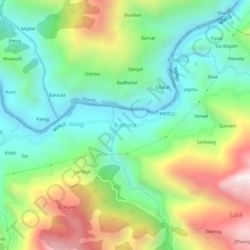
Name: Bathora topographic map, elevation, terrain.

Location: Bathora, Seoni, Shimla, Himachal Pradesh, India (31.24431 77.27771 31.28431 77.31771)

Average elevation: 1,104 m

Minimum elevation: 679 m

Maximum elevation: 1,875 m

Gear up for your next adventure:

🔋Solar Power Bank - Keep your GPS and devices charged during long outdoor trips
🥾Durable Hiking Shoes - Long-lasting shoes for frequent hiking
🥾Approach Boots - Comfortable boots for hiking and climbing approaches
🛏️Sleeping Bag - Warm and compact sleeping bags for outdoor camping
Tent Footprint - Protect tent floor and increase durability

As an Amazon Associate, this site earns from qualifying purchases at no extra cost to you.