
Thị trấn Long Giao topographic map
Interactive map
Click on the map to display elevation.
About this map
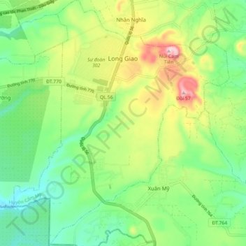
Name: Thị trấn Long Giao topographic map, elevation, terrain.
Location: Thị trấn Long Giao, Huyện Cẩm Mỹ, Tỉnh Đồng Nai, Viêt Nam (10.75800 107.19381 10.84417 107.27106)
Average elevation: 231 m
Minimum elevation: 126 m
Maximum elevation: 420 m