
Anelghowhat topographic map
Interactive map
Click on the map to display elevation.
About this map
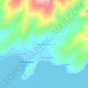
Name: Anelghowhat topographic map, elevation, terrain.
Location: Anelghowhat, Tafea, Vanuatu (-20.24735 169.77142 -20.20735 169.81142)
Average elevation: 79 m
Minimum elevation: 0 m
Maximum elevation: 343 m
Other topographic maps
Click on a map to view its topography, its elevation and its terrain.