
Agraharam topographic map
Click on the map to display elevation.
About this map
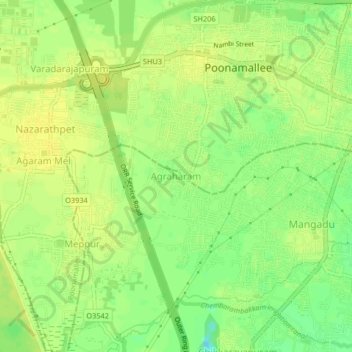
Name: Agraharam topographic map, elevation, terrain.
Location: Agraharam, Pallavaram, Chengalpattu, Tamil Nadu, 602101, India (13.01688 80.07379 13.05688 80.11379)
Average elevation: 22 m
Minimum elevation: 9 m
Maximum elevation: 28 m
Other topographic maps
Click on a map to view its topography, its elevation and its terrain.
Chembrampakkam Surplus to Adayar
India > Tamil Nadu > Pallavaram > Tiruneermalai
Average elevation: 20 m
Chembrampakkam Surplus to Adayar
India > Tamil Nadu > Pallavaram > Tiruneermalai
Average elevation: 20 m