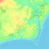
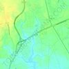
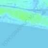
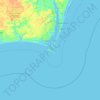
Bald Head Island topographic map
Click on the map to display elevation.
Bald Head Island
Located at the tip of Cape Fear and residing at the convergence of the Cape Fear River and Atlantic Gulf Stream, the land mass of Bald Head Island ends, trailing off into 30 miles (48 km) of treacherous sand bars known as Frying Pan Shoals. In this area, large sand bars seasonally emerge from and subsequently retreat into the sea. These topographical transformations are often as rapid as they are drastic. The consensus view is that Bald Head Island emerged from one such sandbar, stabilized by a succession of plant life, leading to a permanent land mass.
About this map

Name: Bald Head Island topographic map, elevation, terrain.
Average elevation: 0 m
Minimum elevation: -4 m
Maximum elevation: 7 m
Other topographic maps
Click on a map to view its topography, its elevation and its terrain.

Boiling Spring Lake Dam
United States > North Carolina > Brunswick County > Boiling Spring Lakes
Average elevation: 14 m


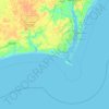
Bald Head Island
United States > North Carolina > Brunswick County > Bald Head Island
Average elevation: 3 m