Geolocate

Sangalwadi topographic map

Click on the map to display elevation.

About this map

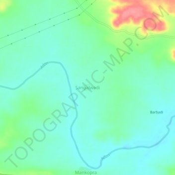
Name: Sangalwadi topographic map, elevation, terrain.

Location: Sangalwadi, Darwha, Yavatmal, Maharashtra, India (20.39208 77.64656 20.43208 77.68656)

Average elevation: 361 m

Minimum elevation: 339 m

Maximum elevation: 421 m

Gear up for your next adventure:

🔭Outdoor Binoculars - Lightweight binoculars for birdwatching and hiking
🧦Thermal Socks - Warm socks for winter hiking or camping
🦟Insect Repellent - Keep mosquitoes and black flies away in wooded areas
🎒Fully Waterproof Backpack - Total protection for photography gear and electronics
🧥Packable Rain Jacket - Breathable waterproof layer for unpredictable weather

As an Amazon Associate, this site earns from qualifying purchases at no extra cost to you.