
File topographic map
Interactive map
Click on the map to display elevation.
About this map
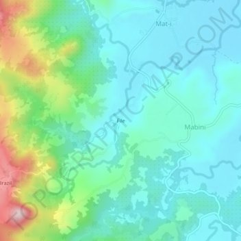
Name: File topographic map, elevation, terrain.
Location: File, Mat-i, Surigao del Norte, Caraga, Philippinen (9.67993 125.44946 9.71993 125.48946)
Average elevation: 105 m
Minimum elevation: 13 m
Maximum elevation: 409 m