Geolocate

Bausa topographic map

Click on the map to display elevation.

About this map
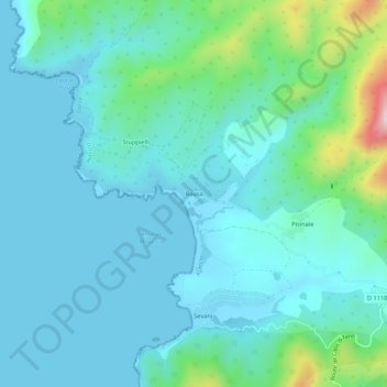
Name: Bausa topographic map, elevation, terrain.

Location: Bausa, Ajaccio, Corse-du-Sud, Corse, France métropolitaine, France (41.91992 8.60308 41.95992 8.64308)

Average elevation: 60 m

Minimum elevation: -1 m

Maximum elevation: 363 m

Other topographic maps

Click on a map to view its topography, its elevation and its terrain.

Pointe de la Parata

France > Corse > Corse-du-Sud > Ajaccio

Average elevation: 11 m

Campo Dell'Oro

France > Corse > Corse-du-Sud > Ajaccio

Average elevation: 3 m

Gear up for your next adventure:

🧢Beanie Hat - Keep your head warm in cold weather
🥾Trail Hiking Boots - Supportive boots for rough trails
🧦Outdoor Socks - Durable socks designed for hiking and outdoor sports
🕶️Polarized Sunglasses - Protect your eyes with durable polarized lenses
🥾Trekking Poles - Adjustable trekking poles to reduce knee stress and improve stability

As an Amazon Associate, this site earns from qualifying purchases at no extra cost to you.