Geolocate

Limunsudan Falls topographic map

Click on the map to display elevation.

About this map

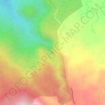
Name: Limunsudan Falls topographic map, elevation, terrain.

Location: Limunsudan Falls, Iligan, Northern Mindanao, Philippines (8.11273 124.52337 8.11283 124.52347)

Average elevation: 690 m

Minimum elevation: 463 m

Maximum elevation: 884 m

Other topographic maps

Click on a map to view its topography, its elevation and its terrain.

Kiwalan

Philippines > Iligan

Average elevation: 74 m

Mandulog River

Philippines > Iligan > San Roque

Average elevation: 79 m

Iponan River

Philippines > Iligan

Average elevation: 563 m

Bayug River

Philippines > Iligan > Lanipao

Average elevation: 154 m

Iligan City Wet Park

Philippines > Iligan

Average elevation: 17 m

Gear up for your next adventure:

Camping Essentials - All-in-one gear for a comfortable camping trip
🧊Insulated Water Bottle - Keeps drinks cold in summer and prevents freezing in winter
🛌Insulated Sleeping Pad - Critical thermal barrier between you and the cold ground
🧦Hiking Liner Socks - Thin base layer to prevent friction and blisters
🧳Compression Sacks - Maximize space in your backpack by shrinking gear

As an Amazon Associate, this site earns from qualifying purchases at no extra cost to you.