
Thank you for supporting this site ❤️
Make a donation
Make a donation
Gear up for your next adventure:
As an Amazon Associate, this site earns from qualifying purchases at no extra cost to you.
Horqi topographic map
Click on the map to display elevation.
Thank you for supporting this site ❤️
Make a donation
Make a donation
Gear up for your next adventure:
As an Amazon Associate, this site earns from qualifying purchases at no extra cost to you.
About this map
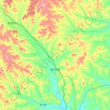
Name: Horqi topographic map, elevation, terrain.
Location: Horqi, Arun Banner, Hulunbuir, Inner Mongolia, China (48.23755 122.89251 48.55257 123.54820)
Average elevation: 358 m
Minimum elevation: 232 m
Maximum elevation: 651 m
Thank you for supporting this site ❤️
Make a donation
Make a donation
Gear up for your next adventure:
As an Amazon Associate, this site earns from qualifying purchases at no extra cost to you.