Geolocate

Sadarwala topographic map

Click on the map to display elevation.

About this map

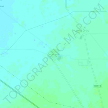
Name: Sadarwala topographic map, elevation, terrain.

Location: Sadarwala, Muktsar Tahsil, Sri Muktsar Sahib, Punjab, India (30.49837 74.46239 30.53837 74.50239)

Average elevation: 195 m

Minimum elevation: 192 m

Maximum elevation: 200 m

Gear up for your next adventure:

💧Hydration Bladder - Hands-free hydration solution for long treks
🪜Heavy Duty Carabiners - Multi-use clips for securing gear to your backpack
🔭Compact Monocular - One-handed bird watching and trail spotting
🧭GPS Tracker - Track your location in remote areas safely
❄️Traction Ice Cleats - Slip-on spikes for icy trails and winter hiking

As an Amazon Associate, this site earns from qualifying purchases at no extra cost to you.