Geolocate

Helm topographic map

Click on the map to display elevation.

About this map

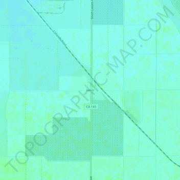
Name: Helm topographic map, elevation, terrain.

Location: Helm, Fresno County, California, 93627, United States (36.51162 -120.11821 36.55162 -120.07821)

Average elevation: 56 m

Minimum elevation: 53 m

Maximum elevation: 59 m

Gear up for your next adventure:

🧤Insulated Winter Gloves - Heavy-duty protection for sub-zero Canadian adventures
🧴Waterproofing Spray - Restore the DWR coating on jackets and tents
🎒Fully Waterproof Backpack - Total protection for photography gear and electronics
🥾Waterproof Hiking Boots - Boots keeping your feet dry in wet conditions
🥾Hiking Shorts - Breathable shorts suitable for summer hikes

As an Amazon Associate, this site earns from qualifying purchases at no extra cost to you.