Geolocate

Eudora topographic map

Click on the map to display elevation.

About this map

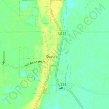
Name: Eudora topographic map, elevation, terrain.

Location: Eudora, Chicot County, Arkansas, 71640, United States (33.08996 -91.27929 33.14119 -91.25203)

Average elevation: 37 m

Minimum elevation: 28 m

Maximum elevation: 50 m

Gear up for your next adventure:

🔥Camping Stove - Portable stoves to cook outdoors with ease
💡Compact LED Flashlight - Powerful and portable flashlight for outdoor use
🧼Travel Hand Sanitizer - Keep hands clean when water is scarce
🔋Solar Power Bank - Keep your GPS and devices charged during long outdoor trips
🥾Trail Hiking Shoes - Durable shoes designed for rugged trails

As an Amazon Associate, this site earns from qualifying purchases at no extra cost to you.