Geolocate

Langhe topographic map

Click on the map to display elevation.

About this map

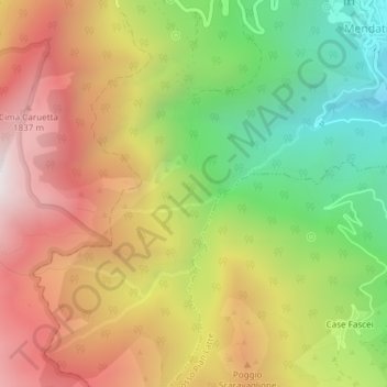
Name: Langhe topographic map, elevation, terrain.

Location: Langhe, Mendatica, Imperia, Liguria, 18025, Italy (44.05483 7.77826 44.07483 7.79826)

Average elevation: 1,330 m

Minimum elevation: 686 m

Maximum elevation: 1,972 m

Gear up for your next adventure:

🐕Hiking Dog Pack - Let your canine companion carry their own water and food
🪜Heavy Duty Carabiners - Multi-use clips for securing gear to your backpack
💧Collapsible Water Bottle - Space-saving water bottle for outdoor activities
🛶Canoe Life Vest - Safety vest for water sports
🕶️Polarized Sunglasses - Protect your eyes with durable polarized lenses

As an Amazon Associate, this site earns from qualifying purchases at no extra cost to you.