Geolocate

Thatcher topographic map

Click on the map to display elevation.

About this map

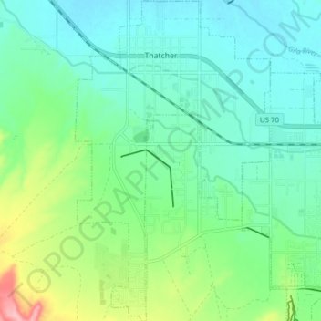
Name: Thatcher topographic map, elevation, terrain.

Location: Thatcher, Graham County, Arizona, 85552, United States (32.79560 -109.77986 32.86027 -109.73294)

Average elevation: 912 m

Minimum elevation: 875 m

Maximum elevation: 1,021 m

Gear up for your next adventure:

🥾Trail Running Shoes - Lightweight and durable shoes for trail running
💧Collapsible Water Bottle - Space-saving water bottle for outdoor activities
🧥Softshell Hiking Jacket - The perfect balance of wind protection and breathability
🛌Down Sleeping Bag - Superior warmth-to-weight ratio for cold nights
🧦Merino Wool Socks - Moisture-wicking comfort for long-distance hiking

As an Amazon Associate, this site earns from qualifying purchases at no extra cost to you.