Geolocate

Rio Patía topographic map

Click on the map to display elevation.

About this map

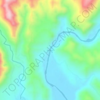
Name: Rio Patía topographic map, elevation, terrain.

Location: Rio Patía, Patía, Sur, Cauca, Colombia (2.17573 -77.04147 2.19904 -77.01921)

Average elevation: 698 m

Minimum elevation: 603 m

Maximum elevation: 907 m

Gear up for your next adventure:

🥾Waterproof Trail Shoes - Shoes designed to handle wet terrain
🧢Beanie Hat - Keep your head warm in cold weather
🧢Outdoor Cap - Protective cap for sun and rain during hikes
🧰Survival Kit - Essential gear for emergencies in the wilderness
🕯️Camping Lantern - Illuminates your entire campsite with high-efficiency LEDs

As an Amazon Associate, this site earns from qualifying purchases at no extra cost to you.