
Yateras topographic map
Interactive map
Click on the map to display elevation.
About this map
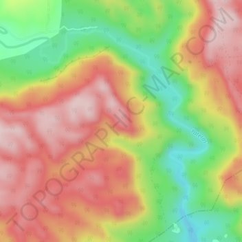
Name: Yateras topographic map, elevation, terrain.
Location: Yateras, Felicidad de Yateras, Yateras, Guantánamo, Cuba (20.24873 -75.03742 20.27920 -74.99636)
Average elevation: 558 m
Minimum elevation: 342 m
Maximum elevation: 736 m
Other topographic maps
Click on a map to view its topography, its elevation and its terrain.
Yateras
Cuba > Guantánamo > Yateras > Felicidad de Yateras
Yateras, Felicidad de Yateras, Yateras, Guantánamo, Cuba
Average elevation: 512 m