
Bulan topographic map
Interactive map
Click on the map to display elevation.
About this map
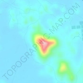
Name: Bulan topographic map, elevation, terrain.
Location: Bulan, Batam, Iles Riau, Indonésie (0.97634 103.93078 0.97644 103.93088)
Average elevation: 21 m
Minimum elevation: -3 m
Maximum elevation: 179 m
Other topographic maps
Click on a map to view its topography, its elevation and its terrain.
Tanjung Pinggir
Indonésie > Îles Riau > Batam > Tanjung Pinggir
Tanjung Pinggir, Batam, Iles Riau, 20444, Indonésie
Average elevation: 6 m