Geolocate

May City topographic map

Click on the map to display elevation.

About this map

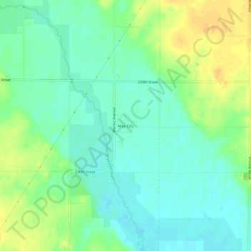
Name: May City topographic map, elevation, terrain.

Location: May City, Osceola County, Iowa, United States (43.30080 -95.49445 43.34080 -95.45445)

Average elevation: 440 m

Minimum elevation: 428 m

Maximum elevation: 457 m

Other topographic maps

Click on a map to view its topography, its elevation and its terrain.

Ashton

United States > Iowa > Osceola County

Average elevation: 448 m

Ashton

United States > Iowa > Osceola County

Average elevation: 448 m

Ashton

United States > Iowa > Osceola County

Average elevation: 448 m

Gear up for your next adventure:

🛏️Sleeping Bag - Warm and compact sleeping bags for outdoor camping
🧣Evaporative Cooling Towel - Beat the heat during intense summer climbs
🥾Mountaineering Boots - Supportive boots for climbing and high-altitude hiking
💡Solar Camping Lamp - Eco-friendly lighting for campsites
🔭Outdoor Binoculars - Lightweight binoculars for birdwatching and hiking

As an Amazon Associate, this site earns from qualifying purchases at no extra cost to you.