
Lacs topographic map
Interactive map
Click on the map to display elevation.
About this map
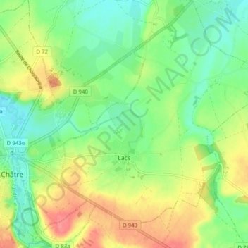
Name: Lacs topographic map, elevation, terrain.
Average elevation: 224 m
Minimum elevation: 196 m
Maximum elevation: 265 m
Other topographic maps
Click on a map to view its topography, its elevation and its terrain.
Saint-Denis-de-Jouhet
França > Centro > Indre > Saint-Denis-de-Jouhet
Saint-Denis-de-Jouhet, La Châtre, Indre, Centro, França metropolitana, 36230, França
Average elevation: 298 m