Geolocate

Pyrenees topographic map

Click on the map to display elevation.
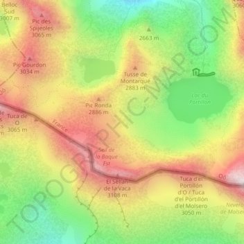
Pyrenees

In the Western Pyrenees, from the Basque mountains near the Bay of Biscay of the Atlantic Ocean, the average elevation gradually increases from west to east.

About this map

Name: Pyrenees topographic map, elevation, terrain.

Location: Pyrenees, Oô, Saint-Gaudens, Haute-Garonne, Occitania, Metropolitan France, 31110, France (42.69820 0.49695 42.69830 0.49705)

Average elevation: 2,716 m

Minimum elevation: 2,265 m

Maximum elevation: 3,168 m

Gear up for your next adventure:

🎒Backpack Rain Cover - External shield to keep your entire pack dry
🧥Thermal Layer - Insulating layer for cold outdoor conditions
🔪Outdoor Multitool - Versatile tool for repairs and food prep in the wild
🧥Waterproof Hiking Jacket - Protect yourself from rain and wind while hiking
🥾Approach Boots - Comfortable boots for hiking and climbing approaches

As an Amazon Associate, this site earns from qualifying purchases at no extra cost to you.