
Parque Natural Sierra de Hornachuelos topographic map
Interactive map
Click on the map to display elevation.
About this map
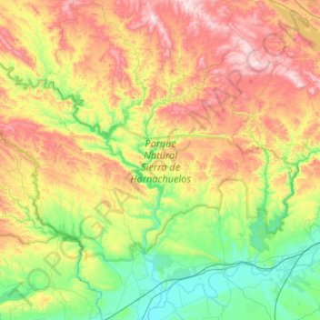
Name: Parque Natural Sierra de Hornachuelos topographic map, elevation, terrain.
Average elevation: 367 m
Minimum elevation: 50 m
Maximum elevation: 889 m
Other topographic maps
Click on a map to view its topography, its elevation and its terrain.
Sierra del Caballo
España > Andalucía > Hornachuelos
Sierra del Caballo, Hornachuelos, Córdoba, Andalucía, España
Average elevation: 230 m