Geolocate

Batur topographic map

Click on the map to display elevation.

About this map
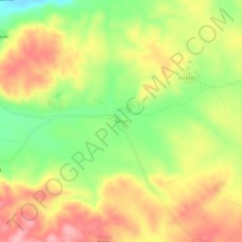
Name: Batur topographic map, elevation, terrain.

Location: Batur, Dicle, Diyarbakır, Southeastern Anatolia Region, Turkey (38.26536 40.24707 38.30536 40.28707)

Average elevation: 813 m

Minimum elevation: 742 m

Maximum elevation: 875 m

Gear up for your next adventure:

🚑Survival Whistle - Signal for help across long distances in mountains
🧥Thermal Layer - Insulating layer for cold outdoor conditions
💧Reusable Water Bottle - Durable water bottles for hydration on trails
🧥Ultralight Puffy Jacket - Maximum warmth that packs down to the size of an orange
🎒Backpack Rain Cover - External shield to keep your entire pack dry

As an Amazon Associate, this site earns from qualifying purchases at no extra cost to you.