
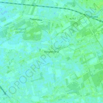
Hoonhorst topographic map
Interactive map
Click on the map to display elevation.
About this map
Name: Hoonhorst topographic map, elevation, terrain.
Location: Hoonhorst, Overijssel, Niederlande, 7722, Niederlande (52.46630 6.20835 52.50630 6.24835)
Average elevation: 3 m
Minimum elevation: -1 m
Maximum elevation: 7 m