Geolocate

Windaroo topographic map

Click on the map to display elevation.

About this map

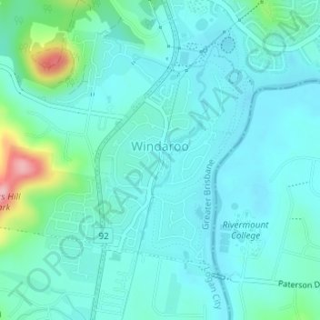
Name: Windaroo topographic map, elevation, terrain.

Location: Windaroo, Logan City, Queensland, Australia (-27.75459 153.18614 -27.73673 153.20124)

Average elevation: 27 m

Minimum elevation: 0 m

Maximum elevation: 152 m

Gear up for your next adventure:

🧣Merino Neck Gaiter - Protects against wind, sun, and cold at high altitudes
Camping Groundsheet - Protect your tent from moisture and dirt
🧊Insulated Water Bottle - Keeps drinks cold in summer and prevents freezing in winter
Tent Footprint - Protect tent floor and increase durability
🥾Trail Hiking Boots - Supportive boots for rough trails

As an Amazon Associate, this site earns from qualifying purchases at no extra cost to you.