Geolocate

Blakes topographic map

Click on the map to display elevation.

About this map

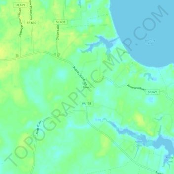
Name: Blakes topographic map, elevation, terrain.

Location: Blakes, Mathews County, Virginia, 23035, United States (37.47930 -76.38744 37.51930 -76.34744)

Average elevation: 7 m

Minimum elevation: -4 m

Maximum elevation: 17 m

Other topographic maps

Click on a map to view its topography, its elevation and its terrain.

Gear up for your next adventure:

🧼Biodegradable Camp Soap - Environmentally friendly cleaning for gear and body
🥾Trail Running Shoes - Lightweight and durable shoes for trail running
🗺️Topographic Maps - Detailed maps to explore trails, mountains, and wilderness areas
Lightweight Backpacking Tent - Compact tent for efficient hiking trips
🔦LED Headtorch - Bright and durable light for night activities

As an Amazon Associate, this site earns from qualifying purchases at no extra cost to you.