Geolocate

Ponte Taro topographic map

Click on the map to display elevation.

About this map
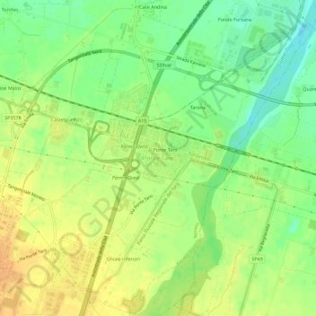
Name: Ponte Taro topographic map, elevation, terrain.

Location: Ponte Taro, Noceto, Parma, Emilia-Romagna, 43010, Italia (44.80404 10.19209 44.84404 10.23209)

Average elevation: 61 m

Minimum elevation: 43 m

Maximum elevation: 76 m

Gear up for your next adventure:

🚲Heavy Duty Bike Lock - Secure your bike at the trailhead or during stops
🧥Thermal Layer - Insulating layer for cold outdoor conditions
🦌Outdoor Trail Camera - Monitor wildlife activity near your favorite spots
🥾Lightweight Hiking Shoes - Comfortable shoes for day hikes
🔭Compact Monocular - One-handed bird watching and trail spotting

As an Amazon Associate, this site earns from qualifying purchases at no extra cost to you.