
Brocken topographic map
Interactive map
Click on the map to display elevation.
About this map
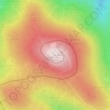
Name: Brocken topographic map, elevation, terrain.
Location: Brocken, Wernigerode, Landkreis Harz, Saxe-Anhalt, Allemagne (51.79908 10.61559 51.79918 10.61569)
Average elevation: 963 m
Minimum elevation: 701 m
Maximum elevation: 1,142 m
Le Brocken est le point culminant du Harz, en Allemagne du Nord. Il s'élève au nord-ouest de Schierke en Saxe-Anhalt et atteint une altitude de 1 141 m. La montagne fait partie du parc national du Harz.