
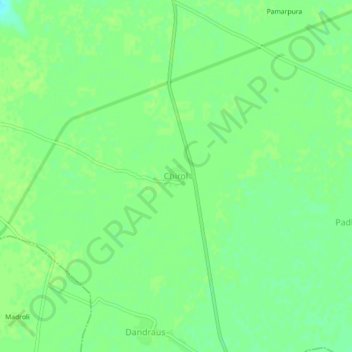
Chirol topographic map
Interactive map
Click on the map to display elevation.
About this map
Name: Chirol topographic map, elevation, terrain.
Location: Chirol, Mehgaon Tahsil, Bhind District, Madhya Pradesh, Inde (26.33510 78.60968 26.37510 78.64968)
Average elevation: 154 m
Minimum elevation: 146 m
Maximum elevation: 156 m