Geolocate

Naranjos topographic map

Click on the map to display elevation.

About this map

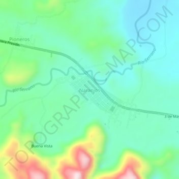
Name: Naranjos topographic map, elevation, terrain.

Location: Naranjos, Pardo Miguel, Rioja, San Martín, Perú (-5.75955 -77.52376 -5.71955 -77.48376)

Average elevation: 1,006 m

Minimum elevation: 889 m

Maximum elevation: 1,331 m

Gear up for your next adventure:

🥾Mountain Trail Shoes - High-traction shoes for mountain trails
🧴Bear Spray Holster - Quick-access carry for essential Canadian wilderness safety
🧼Travel Hand Sanitizer - Keep hands clean when water is scarce
🧼Biodegradable Camp Soap - Environmentally friendly cleaning for gear and body
🥾Hiking Leggings - Comfortable leggings for outdoor activities

As an Amazon Associate, this site earns from qualifying purchases at no extra cost to you.