Geolocate

Bambang topographic map

Click on the map to display elevation.

About this map

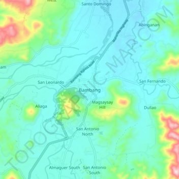
Name: Bambang topographic map, elevation, terrain.

Location: Bambang, Nueva Vizcaya, Cagayan Valley, 3702, Philippines (16.34506 121.06547 16.42506 121.14547)

Average elevation: 376 m

Minimum elevation: 300 m

Maximum elevation: 723 m

Other topographic maps

Click on a map to view its topography, its elevation and its terrain.

Kayapa

Philippines > Nueva Vizcaya

Average elevation: 1,258 m

Kasibu River

Philippines > Nueva Vizcaya > Kasibu

Average elevation: 866 m

Gear up for your next adventure:

❄️Traction Ice Cleats - Slip-on spikes for icy trails and winter hiking
🧢Outdoor Visor - Breathable visor for sunny hikes
🧢Hiking Hat - Sun-protective and breathable hats for long treks
🎒Hiking Daypack - Lightweight and durable backpacks for day trips and excursions
🗺️Topographic Maps - Detailed maps to explore trails, mountains, and wilderness areas

As an Amazon Associate, this site earns from qualifying purchases at no extra cost to you.