Geolocate

DeWitt topographic map

Click on the map to display elevation.

About this map

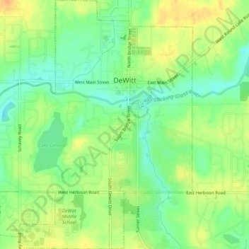
Name: DeWitt topographic map, elevation, terrain.

Location: DeWitt, Clinton County, Michigan, 48820, United States (42.82023 -84.59722 42.85303 -84.55757)

Average elevation: 256 m

Minimum elevation: 239 m

Maximum elevation: 272 m

Gear up for your next adventure:

🧰Emergency Multi-Tool - Compact multi-tool for outdoor survival
👟Sport Hiking Sandals - Breathable footwear for water crossings and camp rest
🔦LED Flashlight - Powerful and long-lasting flashlight for camping and emergencies
🧢Sun Protection Cap - Breathable cap to protect from sun exposure
🧴Insect Repellent - Protect yourself from bugs during outdoor adventures

As an Amazon Associate, this site earns from qualifying purchases at no extra cost to you.