Geolocate

Calvitero topographic map

Click on the map to display elevation.

About this map

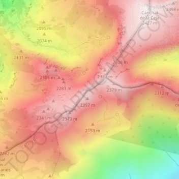
Name: Calvitero topographic map, elevation, terrain.

Location: Calvitero, Candelario, Salamanca, Castilla y León, España (40.29213 -5.74088 40.29223 -5.74078)

Average elevation: 2,145 m

Minimum elevation: 1,621 m

Maximum elevation: 2,427 m

Gear up for your next adventure:

Lightweight Backpacking Tent - Compact tent for efficient hiking trips
🥾Hiking Shorts - Breathable shorts suitable for summer hikes
🧢Sun Protection Cap - Breathable cap to protect from sun exposure
🥘Camping Cookware Set - Compact nesting pots and pans for trail cooking
🧰Survival Kit - Essential gear for emergencies in the wilderness

As an Amazon Associate, this site earns from qualifying purchases at no extra cost to you.