Geolocate

Pleasant View topographic map

Click on the map to display elevation.

About this map

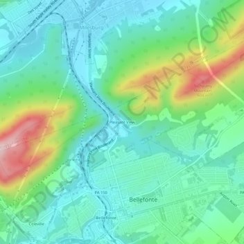
Name: Pleasant View topographic map, elevation, terrain.

Location: Pleasant View, Spring Township, Centre County, Pennsylvania, 16853, United States (40.90617 -77.79834 40.94617 -77.75834)

Average elevation: 296 m

Minimum elevation: 207 m

Maximum elevation: 542 m

Other topographic maps

Click on a map to view its topography, its elevation and its terrain.

Gear up for your next adventure:

🥾Trail Hiking Shoes - Durable shoes designed for rugged trails
Camping Groundsheet - Protect your tent from moisture and dirt
🥾Waterproof Trail Shoes - Shoes designed to handle wet terrain
🔥Camping Stove - Portable stoves to cook outdoors with ease
🥾Mountaineering Boots - Supportive boots for climbing and high-altitude hiking

As an Amazon Associate, this site earns from qualifying purchases at no extra cost to you.