Geolocate

Villabella topographic map

Click on the map to display elevation.

About this map

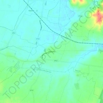
Name: Villabella topographic map, elevation, terrain.

Location: Villabella, Valenza, Alessandria, Piemonte, 15040, Italia (45.01943 8.55212 45.05943 8.59212)

Average elevation: 111 m

Minimum elevation: 95 m

Maximum elevation: 161 m

Gear up for your next adventure:

🧴Sunscreen SPF - Broad-spectrum sunscreen for outdoor activities
🧢Sun Hat - Wide-brim hat for sun protection
🧰Survival Kit - Essential gear for emergencies in the wilderness
🐕Hiking Dog Pack - Let your canine companion carry their own water and food
🔋Solar Power Bank - Keep your GPS and devices charged during long outdoor trips

As an Amazon Associate, this site earns from qualifying purchases at no extra cost to you.