Geolocate

Cugnoli topographic map

Click on the map to display elevation.

About this map

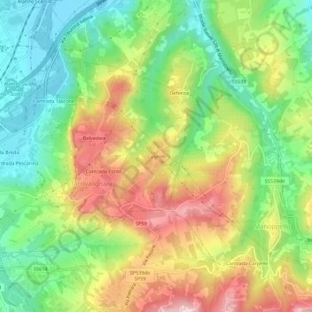
Name: Cugnoli topographic map, elevation, terrain.

Location: Cugnoli, Turrivalignani, Pescara, Abruzzo, 65024, Italy (42.24675 14.01990 42.28675 14.05990)

Average elevation: 203 m

Minimum elevation: 73 m

Maximum elevation: 373 m

Gear up for your next adventure:

🥾Light Trekking Boots - Supportive boots for multi-day treks
🩹Compact First Aid Kit - Pre-packed essentials for common trail injuries
🥾Approach Boots - Comfortable boots for hiking and climbing approaches
🥽Outdoor Goggles - Protective eyewear for outdoor activities
🧥Waterproof Pants - Keep dry during rainy hiking conditions

As an Amazon Associate, this site earns from qualifying purchases at no extra cost to you.