
Nanumanga topographic map
Interactive map
Click on the map to display elevation.
About this map
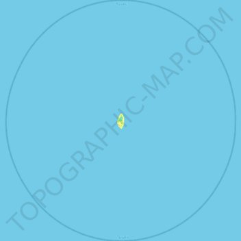
Name: Nanumanga topographic map, elevation, terrain.
Location: Nanumanga, Tuvalu (-6.50418 176.11136 -6.06900 176.52836)
Average elevation: 0 m
Minimum elevation: 0 m
Maximum elevation: 19 m
Other topographic maps
Click on a map to view its topography, its elevation and its terrain.