Geolocate

Purba Harison topographic map

Click on the map to display elevation.

About this map

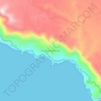
Name: Purba Harison topographic map, elevation, terrain.

Location: Purba Harison, Simalungun, North Sumatra, Sumatra, Indonesia (2.82780 98.69738 2.86780 98.73738)

Average elevation: 1,098 m

Minimum elevation: 900 m

Maximum elevation: 1,414 m

Gear up for your next adventure:

🚲Handlebar Phone Mount - View topographic-map.com live while cycling
🛶Kayak Dry Bag - Waterproof storage for kayaking adventures
🧳Compression Sacks - Maximize space in your backpack by shrinking gear
💧Reusable Water Bottle - Durable water bottles for hydration on trails
🧣Evaporative Cooling Towel - Beat the heat during intense summer climbs

As an Amazon Associate, this site earns from qualifying purchases at no extra cost to you.