
Streeter topographic map
Interactive map
Click on the map to display elevation.
About this map
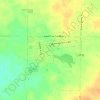
Name: Streeter topographic map, elevation, terrain.
Location: Streeter, Stutsman County, North Dakota, United States (46.65320 -99.36524 46.66069 -99.34406)
Average elevation: 594 m
Minimum elevation: 573 m
Maximum elevation: 610 m
Other topographic maps
Click on a map to view its topography, its elevation and its terrain.
Jamestown
United States > North Dakota > Stutsman County
Jamestown, Stutsman County, North Dakota, United States
Average elevation: 451 m