Geolocate

Kharosa topographic map

Click on the map to display elevation.

About this map

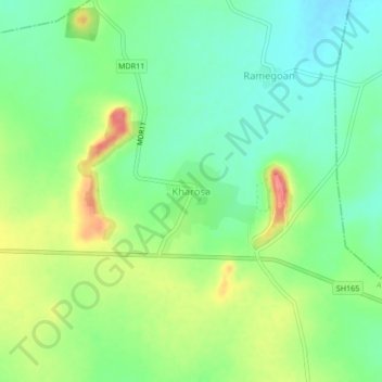
Name: Kharosa topographic map, elevation, terrain.

Location: Kharosa, Ausa, Latur, Maharashtra, 413521, India (18.13971 76.64901 18.17971 76.68901)

Average elevation: 639 m

Minimum elevation: 611 m

Maximum elevation: 684 m

Gear up for your next adventure:

💡LED Headlamp - Hands-free illumination for night hiking and camping
🥾Trail Running Boots - Durable shoes designed for trail running
🥾Trail Running Shoes - Lightweight and durable shoes for trail running
💡Solar Camping Lamp - Eco-friendly lighting for campsites
🥾Approach Boots - Comfortable boots for hiking and climbing approaches

As an Amazon Associate, this site earns from qualifying purchases at no extra cost to you.