Geolocate

Gold Hill topographic map

Click on the map to display elevation.

About this map

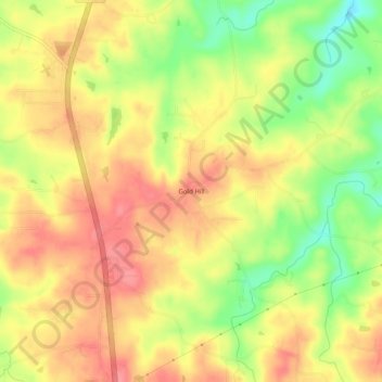
Name: Gold Hill topographic map, elevation, terrain.

Location: Gold Hill, Rockingham County, North Carolina, United States (36.29819 -79.95059 36.33819 -79.91059)

Average elevation: 240 m

Minimum elevation: 193 m

Maximum elevation: 272 m

Other topographic maps

Click on a map to view its topography, its elevation and its terrain.

Eden

United States > North Carolina > Rockingham County

Average elevation: 191 m

Eden

United States > North Carolina > Rockingham County

Average elevation: 191 m

Eden

United States > North Carolina > Rockingham County

Average elevation: 191 m

Eden

United States > North Carolina > Rockingham County

Average elevation: 191 m

Gear up for your next adventure:

🧢Outdoor Visor - Breathable visor for sunny hikes
🥾Trekking Poles - Adjustable trekking poles to reduce knee stress and improve stability
💡LED Headlamp - Hands-free illumination for night hiking and camping
🧦Hiking Socks - Moisture-wicking and comfortable socks for long hikes
🥾Light Trekking Boots - Supportive boots for multi-day treks

As an Amazon Associate, this site earns from qualifying purchases at no extra cost to you.