
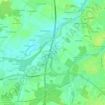
La Plaine de Feuillet topographic map
Interactive map
Click on the map to display elevation.
About this map
Name: La Plaine de Feuillet topographic map, elevation, terrain.
Average elevation: 90 m
Minimum elevation: 83 m
Maximum elevation: 98 m
Other topographic maps
Click on a map to view its topography, its elevation and its terrain.
Chantaloup
France > Centre-Val de Loire > Loiret > Pannes
Chantaloup, Pannes, Montargis, Loiret, Centre-Val de Loire, France métropolitaine, 45700, France
Average elevation: 91 m
Sainte-Catherine
France > Centre-Val de Loire > Loiret > Pannes
Sainte-Catherine, Pannes, Montargis, Loiret, Centre-Val de Loire, France métropolitaine, 45700, France
Average elevation: 91 m