
Ghanaur topographic map
Click on the map to display elevation.
Ghanaur
Ghanaur is located at 30°20′N 76°37′E / 30.33°N 76.61°E / 30.33; 76.61. It has an average elevation of 255 metres (836 feet).
About this map
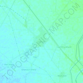
Name: Ghanaur topographic map, elevation, terrain.
Location: Ghanaur, Rajpura Tahsil, Patiala, Punjab, 140702, India (30.31127 76.59200 30.35127 76.63200)
Average elevation: 261 m
Minimum elevation: 258 m
Maximum elevation: 265 m